Get notices and advisories sent to your inbox!
Explore our Climate Action Plan and how we’re working to reduce our carbon footprint.
Read our 2023 Economic Review to learn more about Halton’s strong and resilient economy.
Provide your input by May 2.
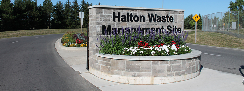
Learn about seasonal waste management events, like Sunday Openings at the Halton Waste Management Site (HWMS), happening this spring.
Trafalgar Road (Regional Road 3) from Highway 407 (ETR) to Steeles Avenue (Regional Road 8) Town of Halton Hills/Town of Milton/To... Read more news